
Welcome to Coleraine
Sitting on the River Bann where Ireland's earliest known settlers set up home, Coleraine is the gateway to the Causeway Coast. Beaches, castles and the Giant's Causeway are all a short spin away.
Eight Thousand Years in the Making
Here's a fact to drop at the dinner table. Just outside Coleraine, at Mountsandel, archaeologists found evidence of people living here around 6000 BC, nearly 8,000 years ago. It's one of the oldest known settlements anywhere in Ireland. Today the site sits in Mountsandel Forest, with woodland paths running above the river, and it makes for a lovely, easy walk. Look out for the big earthwork of Mount Sandel Fort along the way.
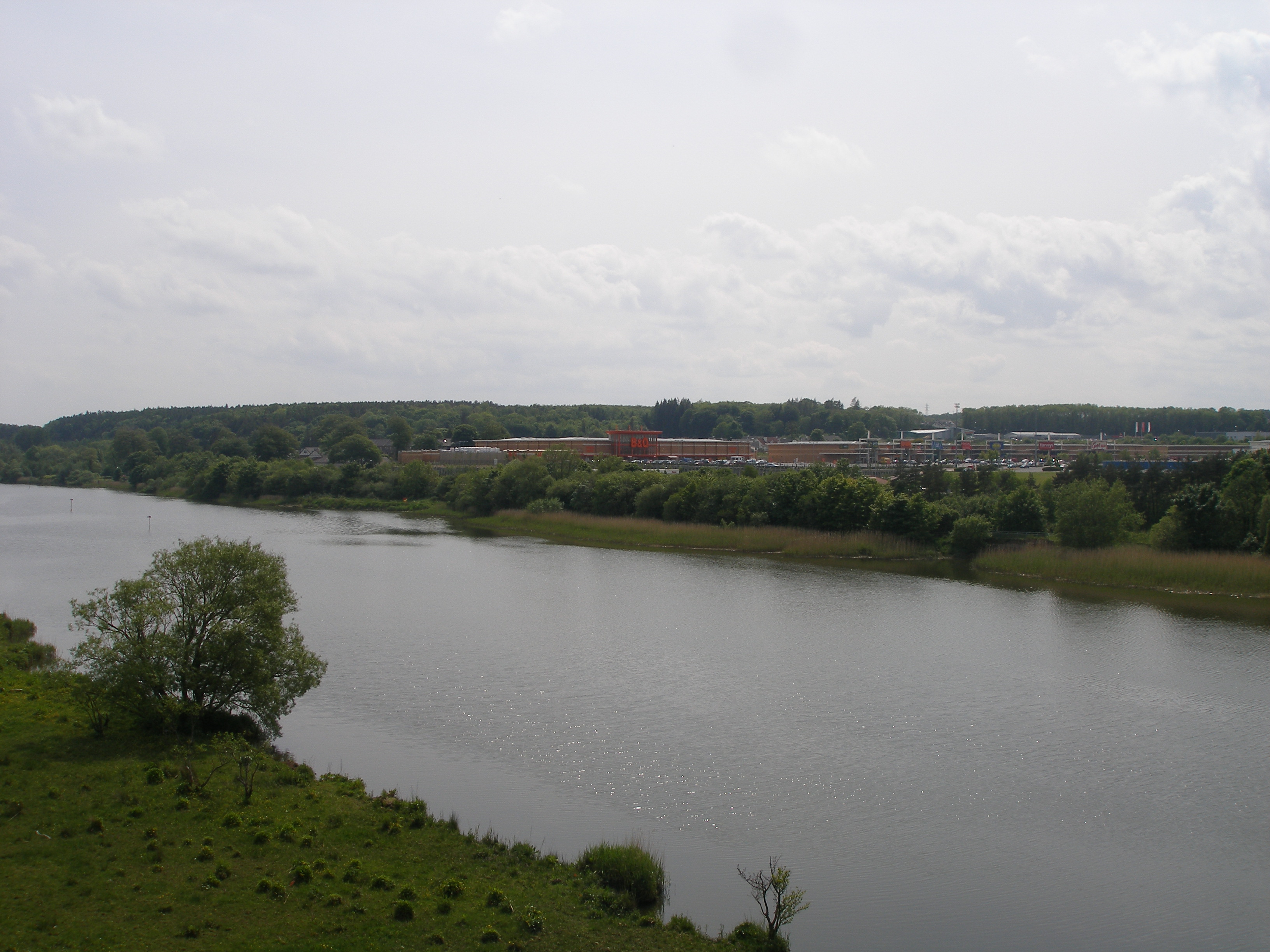
The town itself grew up at the lowest point where you could bridge the River Bann, and the river still shapes the place. Riverside paths, boats on the water and anglers lining the banks when the fish are running.
The Diamond and Around
Every proper Ulster town has a Diamond, and Coleraine's has the handsome Town Hall sat right in the middle. Spread out from there and you'll find a busy shopping centre with high street names, independents and cafes, plus the kind of no-nonsense bakeries where a traybake and a cuppa will set you up for the afternoon.
Ulster University has a campus on the edge of town, home to the Riverside Theatre, which puts on drama, comedy, music and a cracking panto at Christmas.
Rainy Day? No Bother
The north coast weather does like to keep you guessing. When the heavens open, the Jet Centre is the go-to for families, with bowling, a cinema and more under one roof. Smaller kids can burn energy at Cheeky Chimps indoor play.
The Triangle and Beyond
This is the bit that gets people excited. Coleraine is one corner of what locals call the Triangle, with Portstewart and Portrush only a few minutes up the road. Portstewart has its promenade and the sweeping sands of the Strand. Portrush is the classic seaside resort, with beaches either side, amusements and that buzzy summer holiday feel.
Push on a bit further and the Causeway Coast delivers one jaw-dropper after another:
- The Giant's Causeway, the famous hexagonal columns and a UNESCO World Heritage Site.
- Dunluce Castle, a ruin teetering on the clifftop.
- Bushmills, home of the famous whiskey distillery.
- Mussenden Temple on the cliffs at Downhill, looking out towards Donegal, with Castlerock and Benone Strand below for a run on the sand.
Trains, Views and Getting About
Coleraine sits on the railway between Belfast and Derry, and the stretch west of town along the shore of Lough Foyle is a stunner of a train ride. There's a branch line to Portrush too, so a car-free seaside day is easy as you like. Driving, the Causeway Coastal Route links everything up.
Pick a woodland route that suits your legs
Mountsandel is a good excuse to trade shopping bags for fresh air, but choose the walk before setting off. The official tourism guide describes two paths: one high on the slope and another lower down, partly beside the River Bann. They can be joined into a circular walk, while steps near the fort create shorter alternatives.
The woods stretch for about a mile along the eastern bank, covering roughly 21 hectares. That does not mean every route is flat or suitable for every buggy or wheelchair. Look at the route information and your group’s needs, particularly where paths change level. Comfortable shoes and a layer for the weather make more sense than treating it as a paved town-centre stroll.
The published arrival point is Mountsandel Road, postcode BT52 1TA, and the listing gives free parking. This is a working forest environment where diversions or closures may occur, so obey notices on the day. Enjoy the river views and the fort, then head back into Coleraine for something warm from a café.
Visitor arrangements checked 15 October 2026 against the linked official planning sources.
Base yourself here and the whole north coast is your playground. Scroll down for food, places to stay and more to see nearby.

Fuel for the journey
A little planning leaves more in the day-out budget. Compare reported pump prices by town or postcode district.
Fuel price data from FuelCosts.co.uk and UK Government Fuel Finder. Contains public sector information licensed under the Open Government Licence v3.0.
